619-385-2233
Discovering
Data Solutions
We are the avian co
Areas Of Expertise
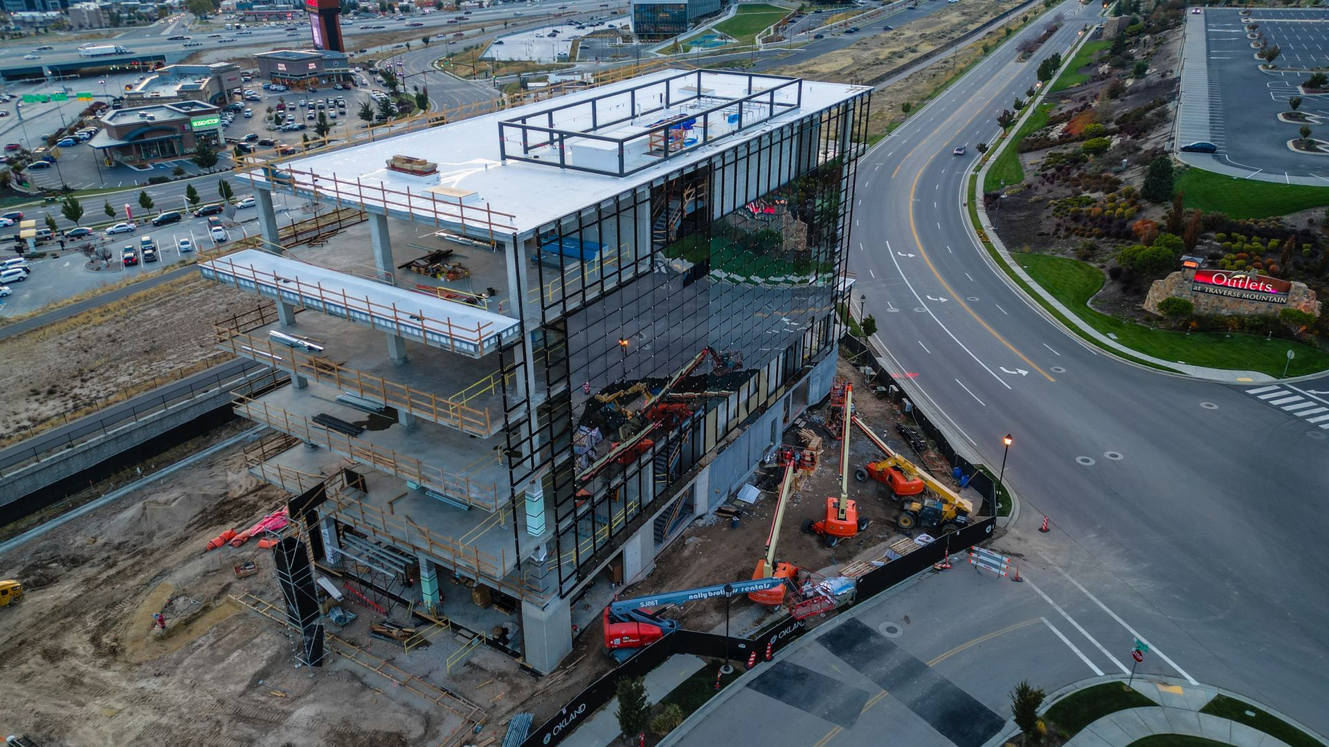
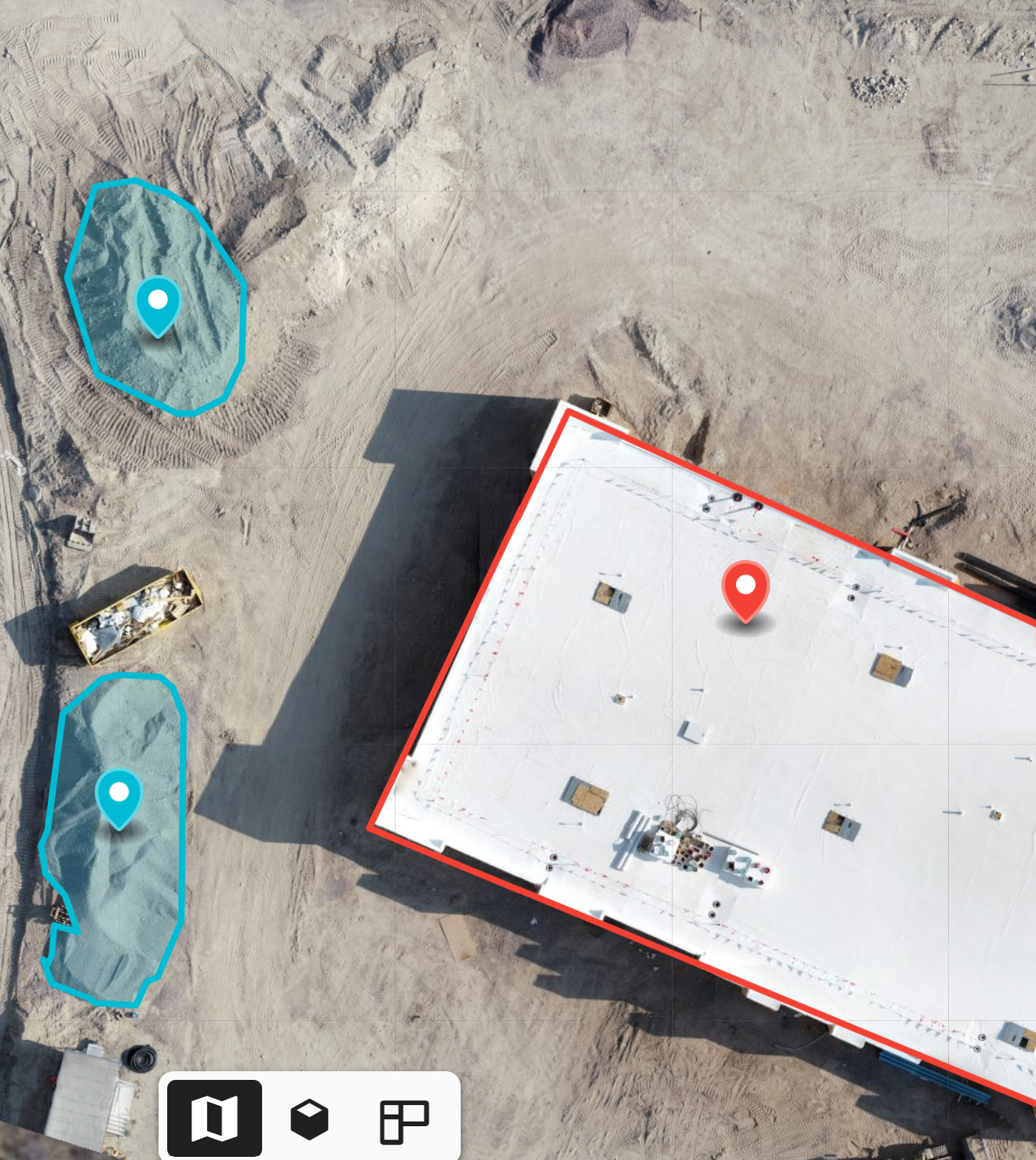
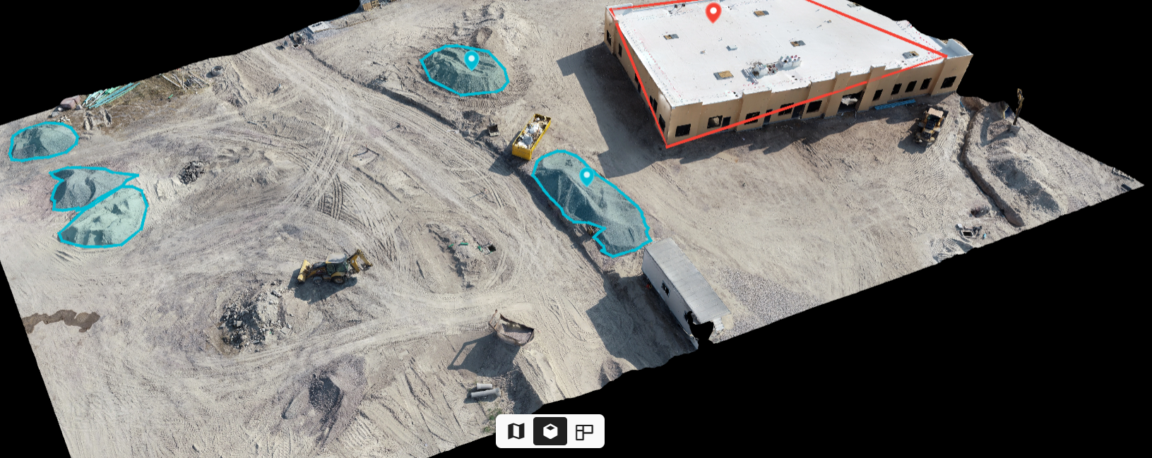
Project managers, stakeholders, and investors that are interested in following the project can all its information on its dedicated cloud.
Depending on how quickly the building is progressing, new updated reports can be taken every month, every week, or every day.


Data and Reports
Easy and Detailed Project Collaboration
Certified and Insured
Data Where It Matters Most
Ground View to Drone View
Easy Team Collaboration
Catch Mistakes Earlier
See Inventory Quickly
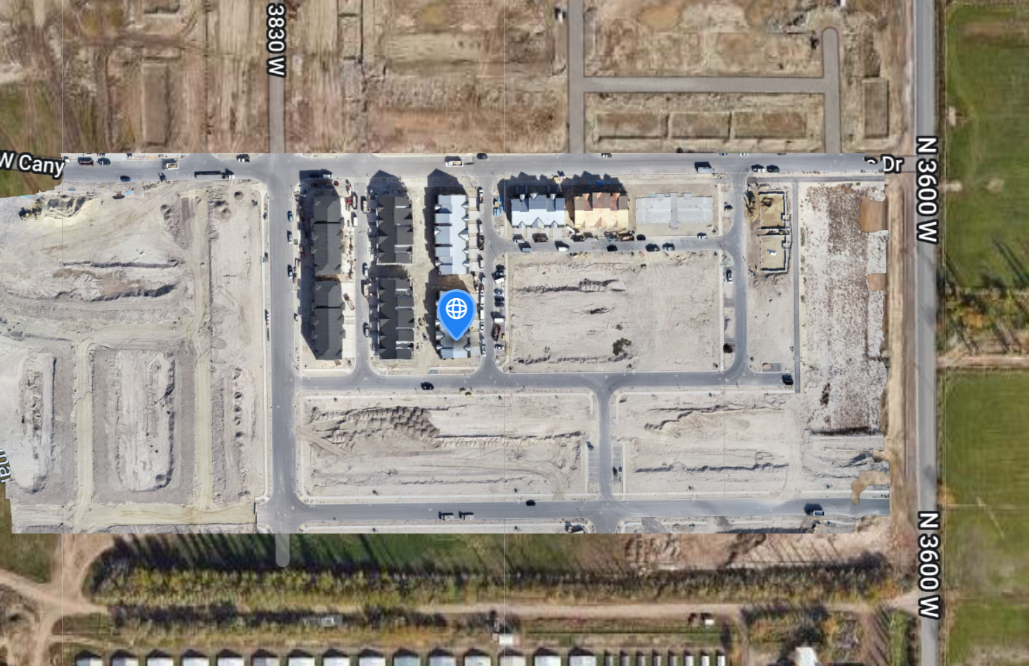
See Multiple Projects from anywhere
Save Time, Money, Gas
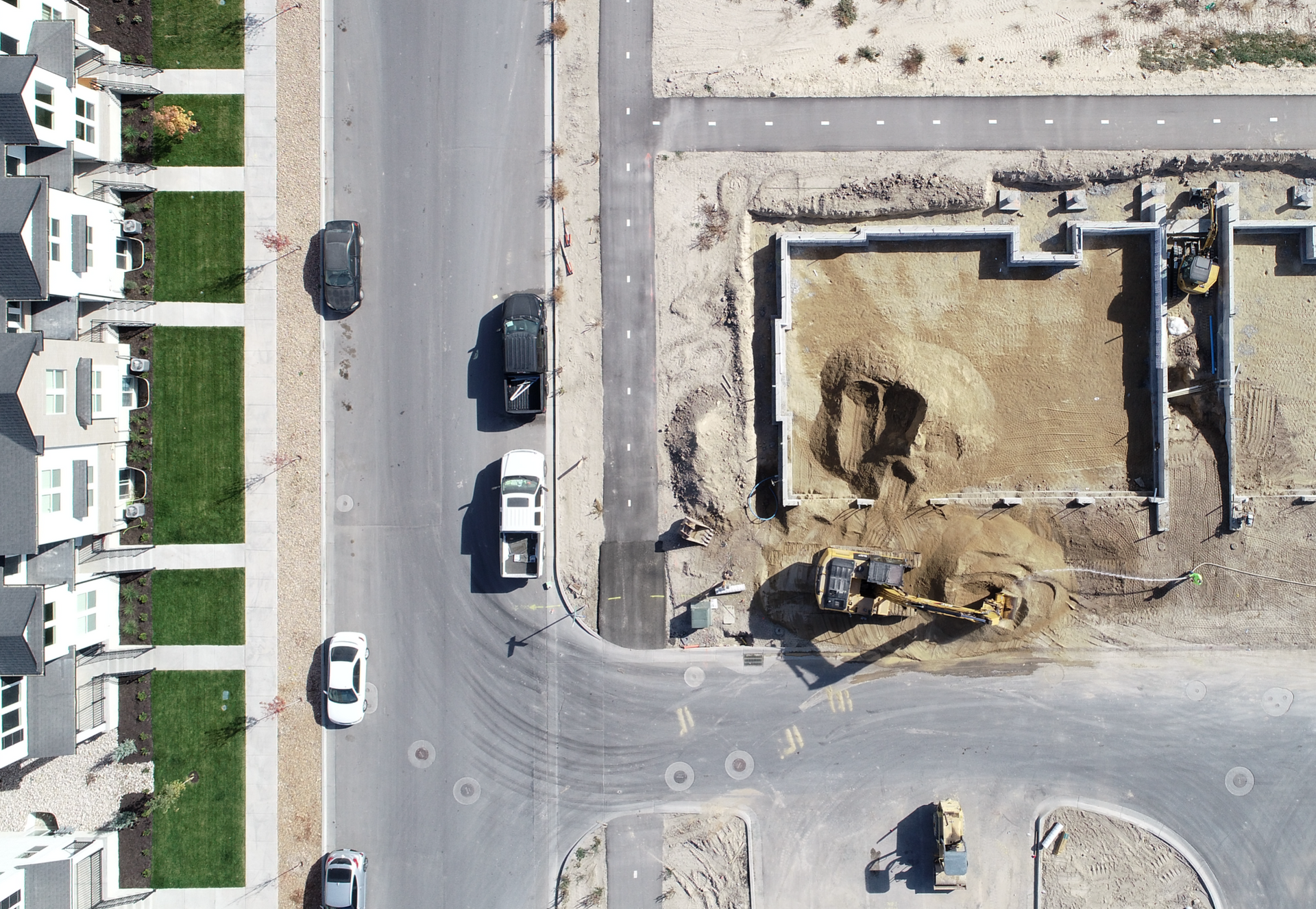
In-dept photography
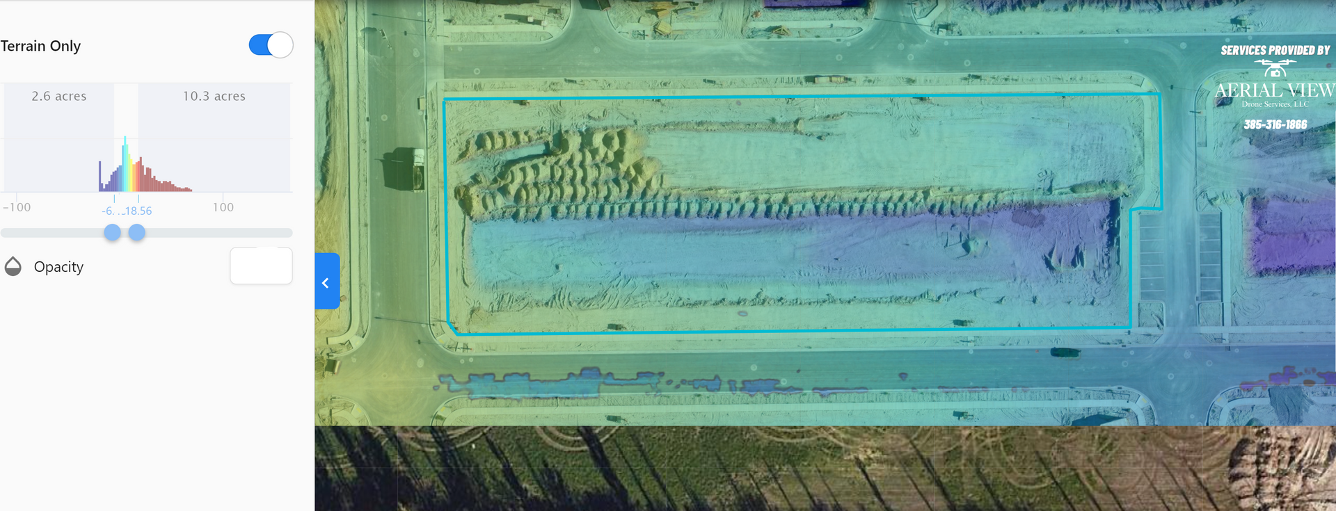
See current terrain conditions
3D Models for Visuals and inspections
Assign Task and notes using email
All Data Captured,
Ready for your use
Innovated "POINT CLOUD" Diagram
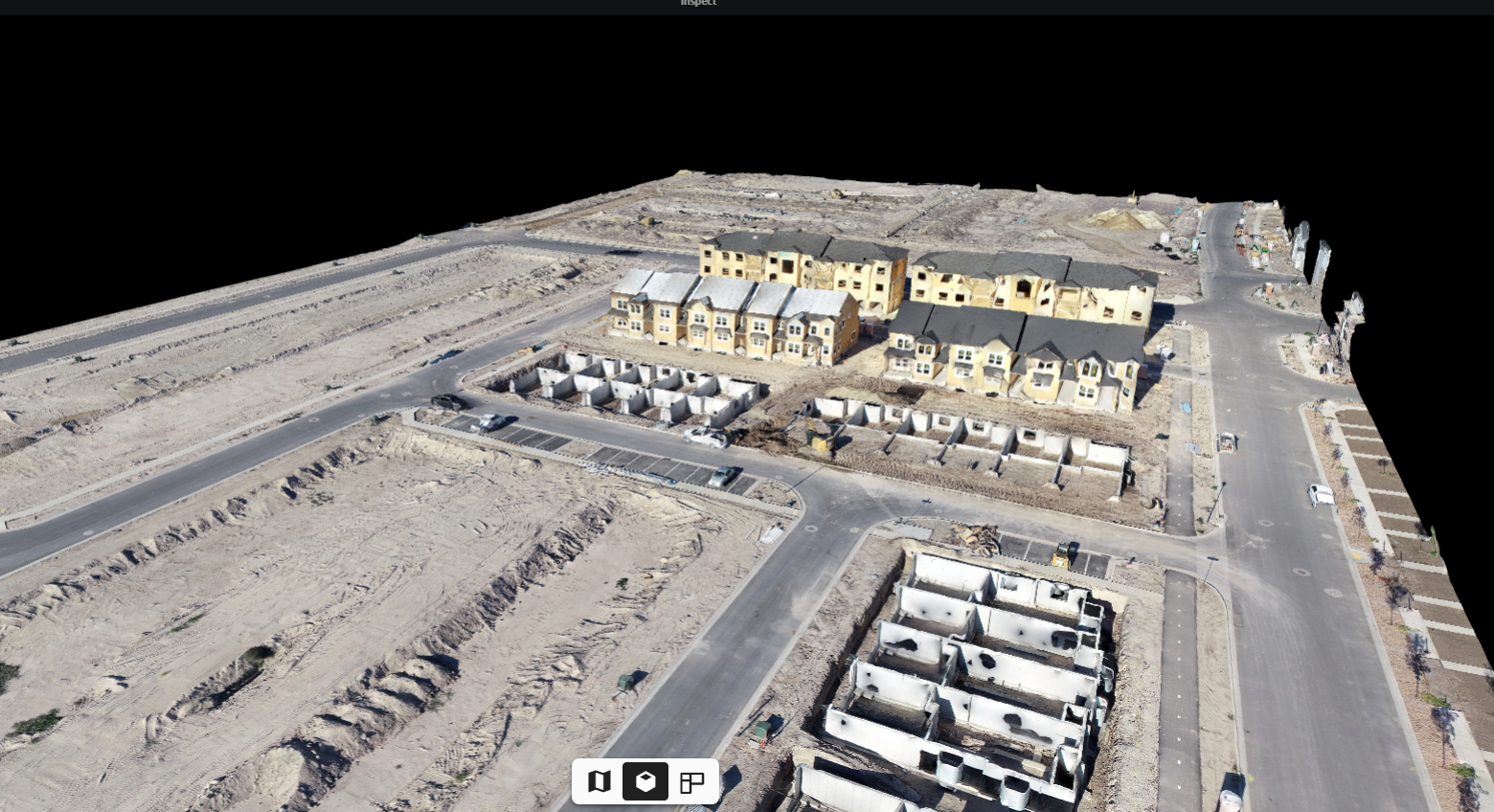
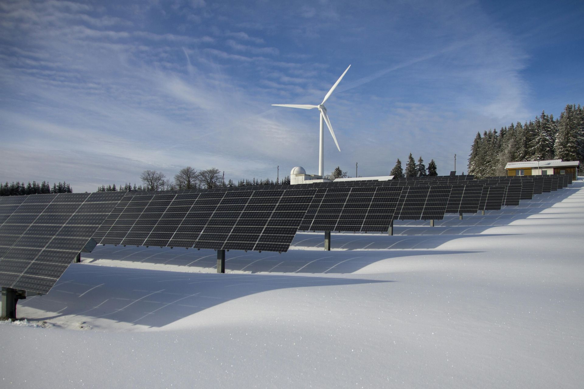
Utilizing Drone Technology for Quicker, Safer, Smarter Projects

As a data collection company, we must disclose that we are not certified land surveyors. While we provide comprehensive aerial data services, including mapping and imaging, we advise consulting with certified professionals for any legally binding surveying requirements
TheAvianCo copyright 2025
All rights reserved.
Headquarters- San Diego CA