

Your One-Stop Shop
Create And Engage
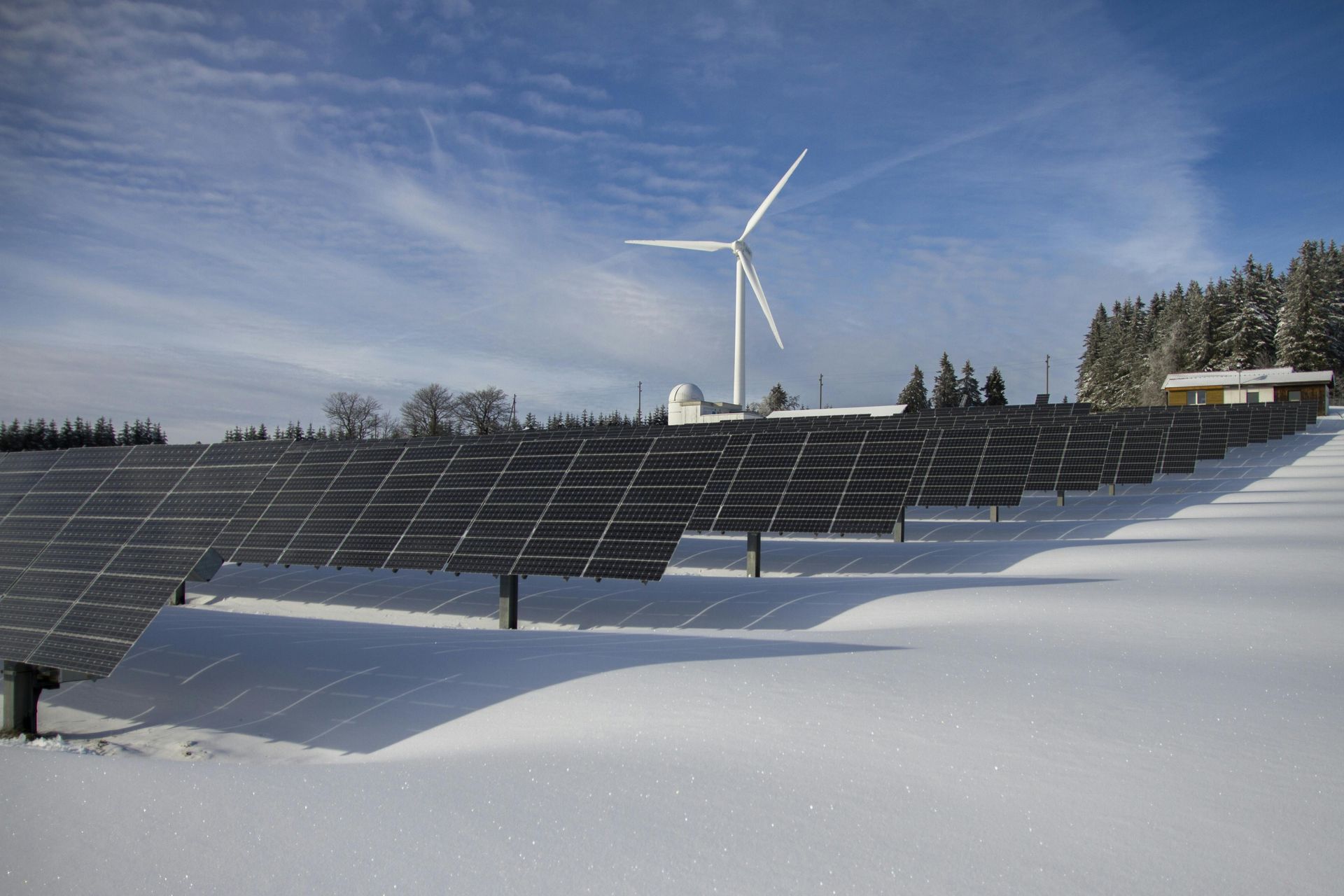
Empowering The Future Builds of Tomorrow with Cutting-Edge Drone Technology
Efficiency and Cost Reduction
Increased Safety and Efficiently
Cloud and Hub Portal; Other formats
(.CSV,PDF,ETC.)
Better Data, Greater Insight, All In One Portal
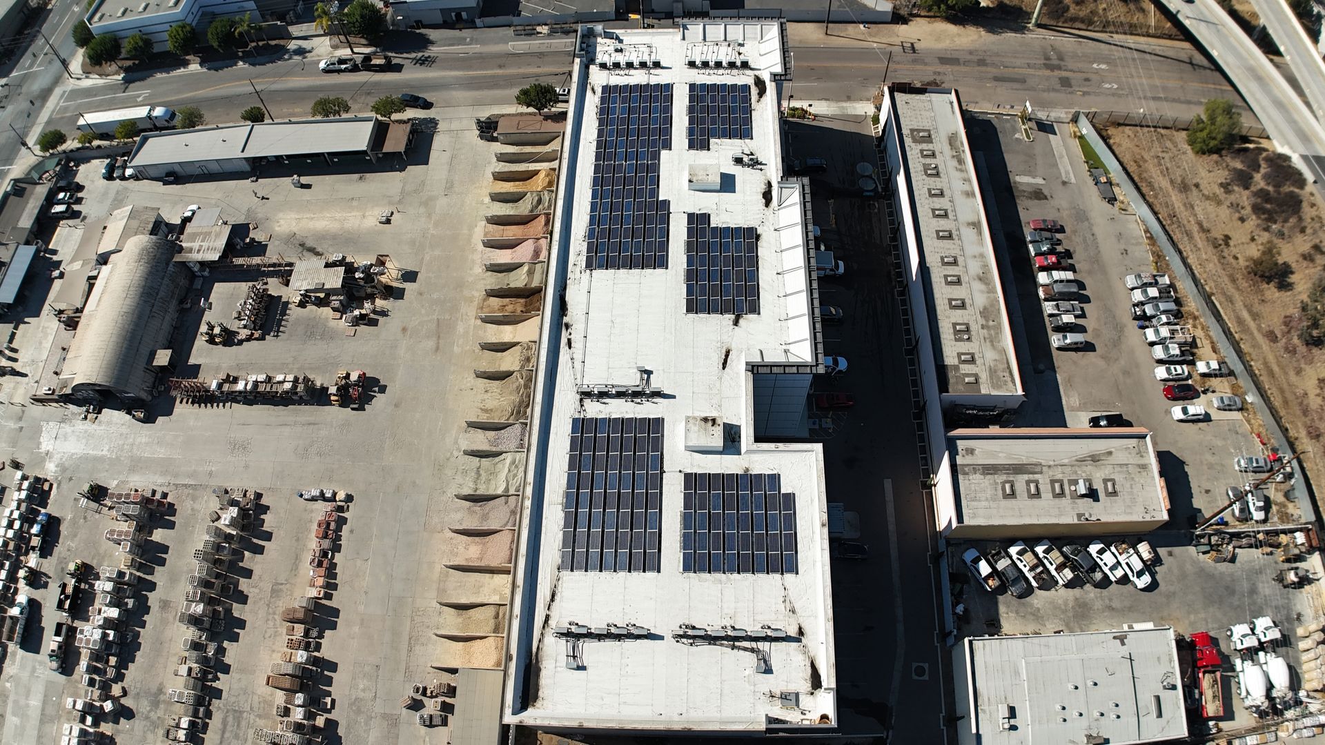
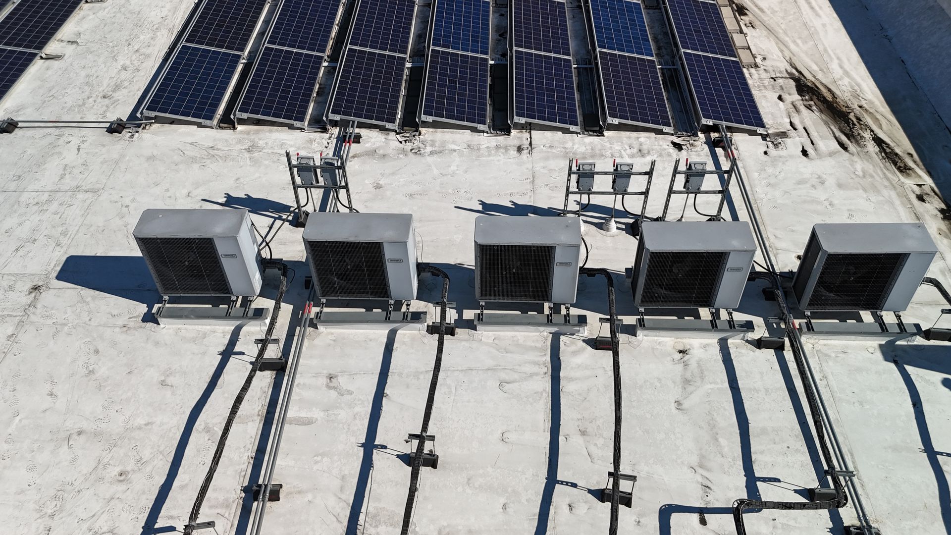
Drones are transforming construction inspections by providing precise fault detection, reducing costs, and greatly enhancing efficiency. Equipped with high-resolution imaging, We quickly identify issues like structural damage, misalignments, and wear, preventing costly delays. The ability to cover large sites minimizes downtime and eliminates the risks of manual inspections.
Strategy and Planning
- Provides real-time aerial views for accurate progress tracking.
- Enhances communication with stakeholders through visual reports.
- Reduces the need for manual site visits, saving time and costs.
- Identifies potential issues early with detailed imagery and data.
- Supports safer site monitoring without exposing workers to hazards.
- Generates precise 3D models and maps for better project planning.
- Documents construction milestones for compliance and record-keeping.
Cost Reduction
- Speeds up progress reporting with quick aerial site scans.
- Reduces labor costs by minimizing the need for manual inspections.
- Provides accurate data for better resource allocation and budget management.
- Identifies delays and inefficiencies early to prevent costly setbacks.
- Streamlines communication with visual updates, reducing unnecessary site visits.
Increased Safety and Risk
- Reduces the need for workers to access hazardous or hard-to-reach areas.
- Identifies structural issues and safety risks early through detailed aerial imagery.
- Enhances site monitoring to ensure compliance with safety standards.
- Minimizes on-site inspections, lowering the risk of workplace accidents.
- Provides clear visuals for safer decision-making and project management.
Picture this!
- Lowers operational costs by reducing the need for manual labor and equipment.
- Speeds up inspections, minimizing downtime and keeping projects on schedule.
- Provides accurate data for better budgeting and resource management.
- Reduces costly rework by identifying issues early in the construction process.
- Enhances operational efficiency with automated data collection and analysis.
Elevate Your Brand To New Heights
Have a coffee
5
New Horizons
Quality TITL
✅ Immersive Visual Experiences
- Capture high-energy FPV fly-through videos that showcase your venue’s atmosphere and vibe
- Create engaging video tours highlighting key features like VIP lounges, dance floors, or signature decor
- Offer dynamic aerial perspectives of events, promotions, or grand openings
- Use eye-catching footage for social media campaigns and digital ads that drive foot traffic
⚡ Enhanced Storytelling and Marketing
- Create cinematic brand videos that capture the energy and ambiance of your business
- Tell your brand’s story through aerial visuals of busy nights, special events, or signature dishes
- Generate buzz with engaging behind-the-scenes content, product launches, or service highlights
- Build emotional connections with your audience by showcasing authentic experiences
📸Quality content Creation
- Promote upcoming events with vibrant aerial teasers and FPV hype videos
- Capture unique footage of live performances, car meets, or restaurant events
- Enhance paid ad campaigns with compelling visuals that stand out online
- Provide exclusive previews of new spaces or grand openings to generate excitement
📸 Brand Storytelling Through Visuals
- Create cinematic brand videos that capture the energy and ambiance of your business
- Tell your brand’s story through aerial visuals of busy nights, special events, or signature dishes
- Generate buzz with engaging behind-the-scenes content, product launches, or service highlights
- Build emotional connections with your audience by showcasing authentic experiences
📍 Venue and Business Showcases
- Provide potential customers with an immersive, first-person virtual tour of your space
- Highlight unique design elements, outdoor patios, or exclusive experiences with FPV perspectives
- Offer virtual walkthroughs for event planning and reservations, reducing the need for in-person visits
- Showcase expansive properties like rooftop bars, car dealerships, or event venues from the sky
Next-Level Offerings
- Develop custom branded drone videos tailored to your target audience
- Provide live drone coverage for events, offering fresh perspectives and crowd engagement
- Create time-lapse videos for construction or renovation projects to show progress and transformation
- Offer professional editing, overlays, and voiceovers to craft a seamless brand narrative
Expertise and Quality
Our team provides expert insights and high-quality data for clear, actionable reports. We help you streamline operations, cut costs, and keep your construction projects on track. .
Scalability
Trust us to improve efficiency and ensure your projects are completed on time and within budget
Our team delivers expert insights and high-quality data to save time, streamline inspections, and keep your construction projects on schedule
Time Efficiency
Collaboration
Our team delivers expert insights and high-quality data to foster seamless collaboration, ensuring your construction projects run smoothly and efficiently from start to finish.
This is a short title
1. Essential Package -
Monthly Progress Reporting with High-Resolution Images
- Progress Tracking and Reporting
- Monthly aerial progress reports with high-resolution images.
- Time-lapse videos capturing key construction milestones.
- Visual documentation for stakeholders with downloadable reports.
- Real-time updates available via the client portal.
- Orthomapping and Site Mapping
- 2D orthomosaic maps providing a clear, accurate view of the site.
- Pre-construction site surveys to document site conditions.
- Basic contour mapping for progress tracking and site planning.
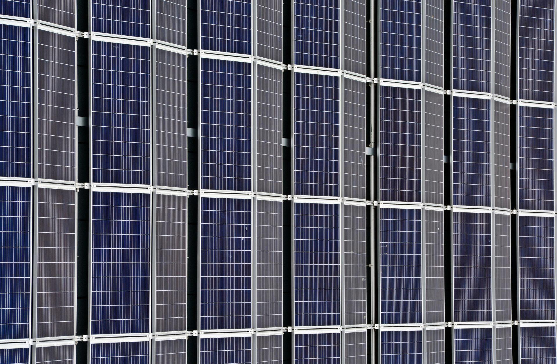
- Photography and Visual Documentation
- High-resolution aerial photography for detailed site views.
- 360° panoramas for clear visual updates.
- Basic in-depth images focusing on key construction areas.
- Best For:
Contractors, site managers, and developers looking for cost-effective site monitoring and progress tracking.
This is a short title
Advanced Package -
Bi-Weekly Progress Reporting with Detailed Visual Analytics
- Progress Tracking and Reporting
- Bi-weekly progress reports with time-lapse videos for milestone tracking.
- Real-time visual updates through the client portal.
- Detailed photo and video documentation for stakeholder presentations.
- Orthomapping and Site Mapping
- High-resolution 2D orthomosaic maps with centimeter-level accuracy.
- 3D modeling and digital twins for advanced project analysis.
- CAD and BIM integration for seamless collaboration with architects and engineers.
- Site contour mapping for excavation and grading progress.
- Inventory and Stockpile Management
- Stockpile volume measurements with precise calculations.
- Material tracking to prevent shortages and optimize ordering.
- Visual inventory reporting with AI-powered analysis.
- Verification reports to validate invoices and deliveries.
- Photography and Visual Documentation
- High-resolution drone photography capturing structural progress.
- 360° interactive site panoramas for remote inspections.
- In-depth ground photos of machinery, materials, and infrastructure.
- Best For:
General contractors, developers, and construction managers seeking comprehensive site oversight and actionable insights.
This is a short title
Premier Package -
Weekly Progress Reporting with Data-Driven Insights
- Progress Tracking and Reporting
- Weekly progress reports with AI-powered analysis and visual insights.
- Real-time data updates accessible via a custom client portal.
- Dynamic time-lapse videos tracking progress over multiple phases.
- Detailed visual documentation for investors, stakeholders, and compliance.
- Orthomapping and Site Mapping
- Advanced 2D and 3D mapping with centimeter-level accuracy.
- Digital twins for detailed project visualization and predictive analysis.
- CAD and BIM integration for real-time project adjustments.
- Terrain modeling and volumetric analysis for earthworks and excavation.
- Inventory and Stockpile Management
- AI-powered stockpile volume tracking with predictive insights.
- Real-time material monitoring to prevent delays and reduce waste.
- Automated reporting for easy invoice verification.
- Comparative inventory analysis for ongoing budget tracking.
- Photography and Visual Documentation
- Ultra-high-resolution images and videos with detailed analysis.
- 360° panoramas for interactive site walkthroughs.
- Close-up inspections of critical infrastructure and machinery.
- Marketing-quality drone footage for promotional use.
- Inspection and Analysis
- Structural integrity inspections with AI-assisted fault detection.
- Thermal imaging for detecting moisture, leaks, and insulation issues.
- Safety compliance monitoring with automated alerts.
- Equipment and machinery inspections for proactive maintenance.
- Data and Reporting Solutions
- Custom dashboards with real-time data visualization.
- AI-powered analysis for actionable insights.
- Predictive maintenance reports to prevent delays.
- Historical data tracking for long-term performance analysis.
- Best For:
Large contractors, developers, and enterprise-level projects needing full-scale project oversight and in-depth analytics.
Elevate Your Brand To New Heights
As a data collection company, we must disclose that we are not certified land surveyors. While we provide comprehensive aerial data services, including mapping and imaging, we advise consulting with certified professionals for any legally binding surveying requirements