


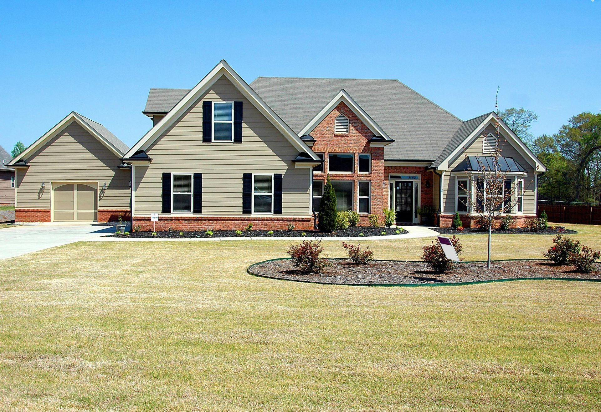
Discovering
Data Solutions
Efficiency and Cost Reduction
Increased Safety and Efficiently
Cloud and Hub Portal; Other formats
(.CSV,PDF,ETC.)
01 /
Fashion Photography
Course
- Professional instructors from around the world.Flexible class schedule that's ideal for students.Real models, real contracts, real connections.
Add your title here
This is a paragraph. Writing in paragraphs lets visitors find what they are looking for quickly and easily. Make sure the title suits the content of this text.
This is a short title
Describe some quality or feature of the company. Write a short paragraph about it and choose an appropriate icon.
This is a short title
Describe some quality or feature of the company. Write a short paragraph about it and choose an appropriate icon.
This is a short title
Describe some quality or feature of the company. Write a short paragraph about it and choose an appropriate icon.
We are the avian co
Areas Of Expertise
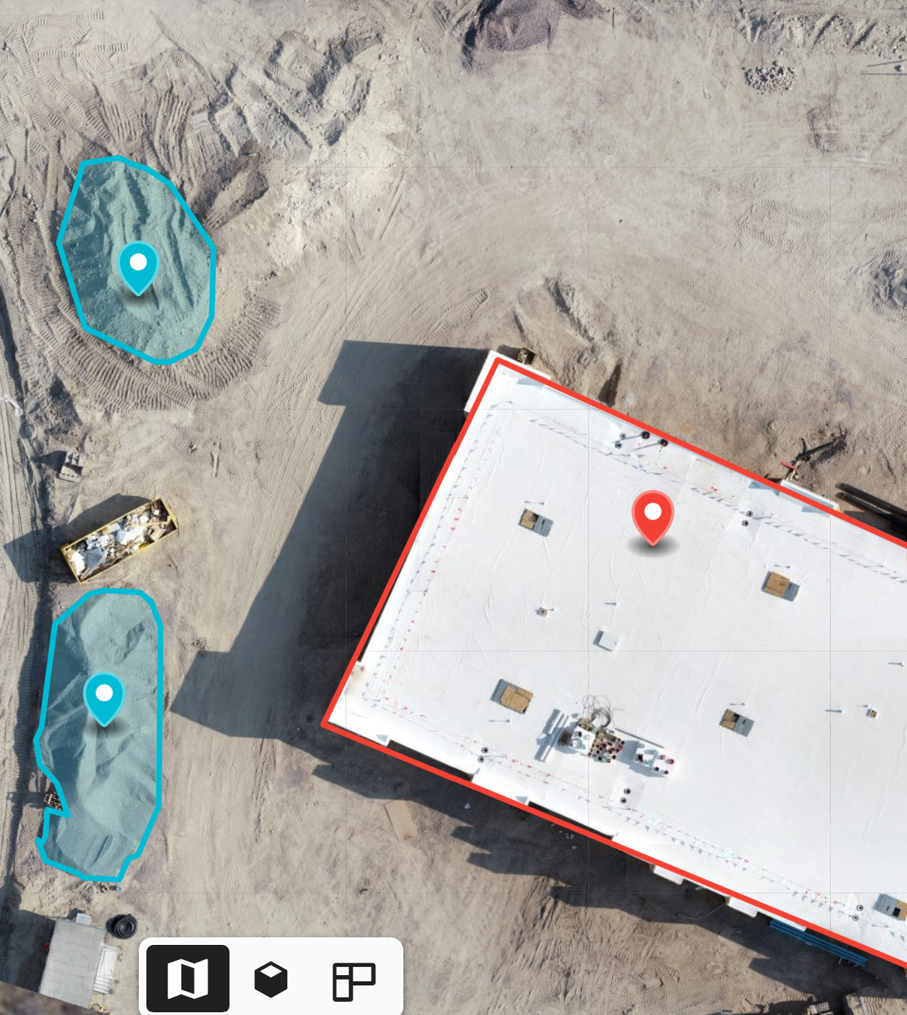
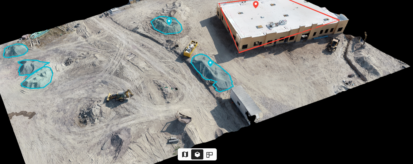
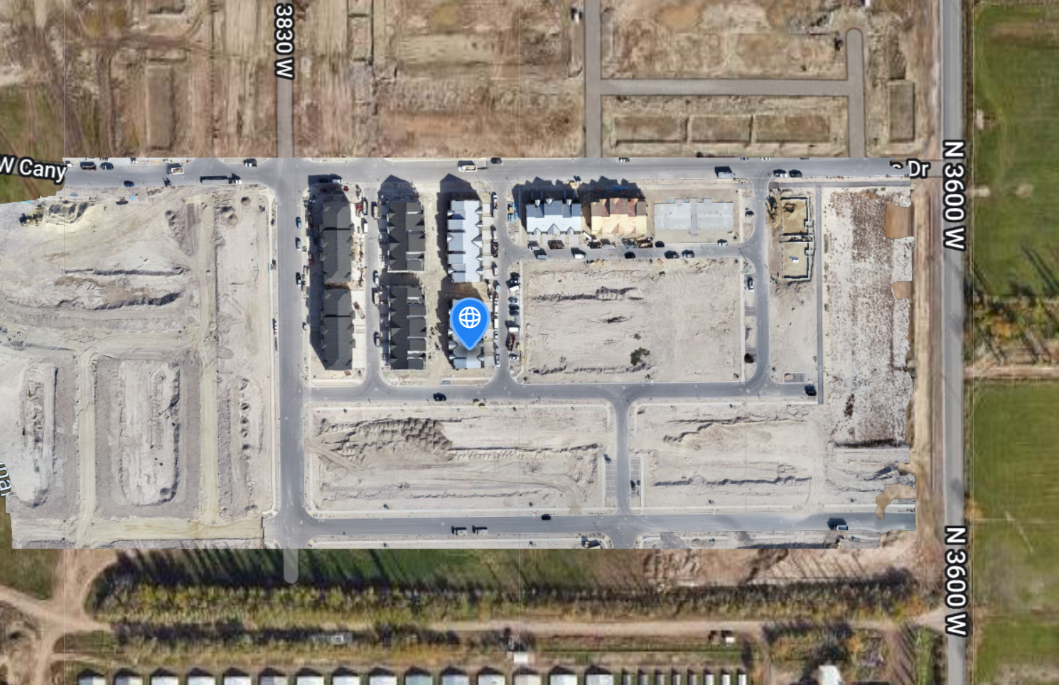
Project managers, stakeholders, and investors that are interested in following the project can all its information on its dedicated cloud.
Depending on how quickly the building is progressing, new updated reports can be taken every month, every week, or every day.


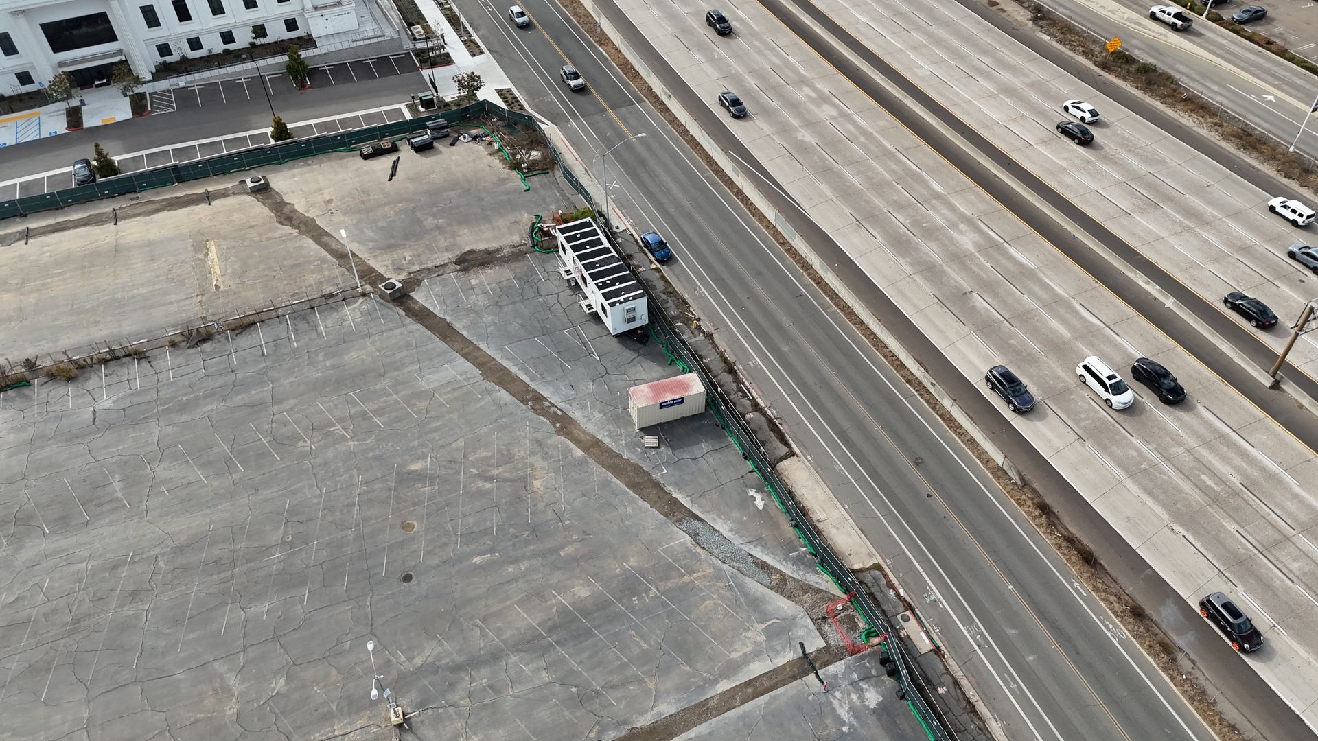

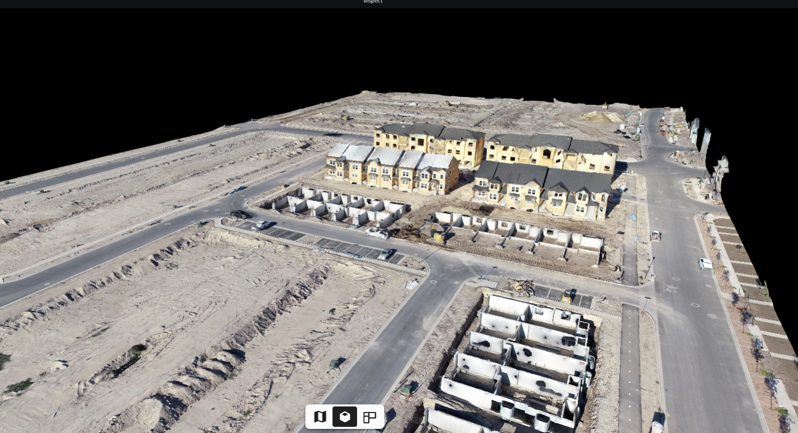
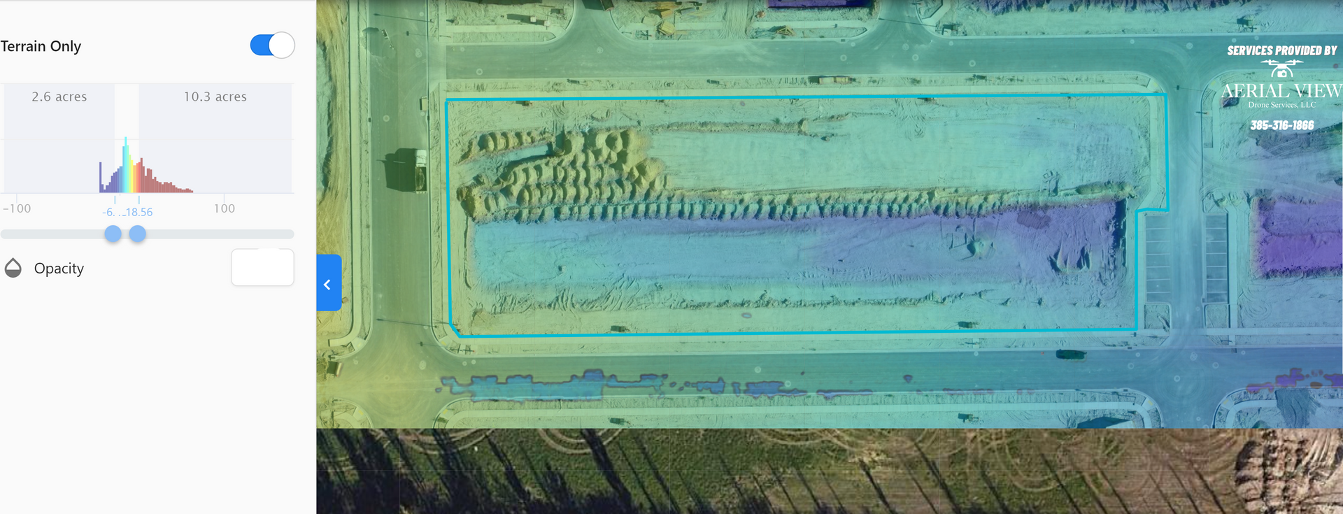
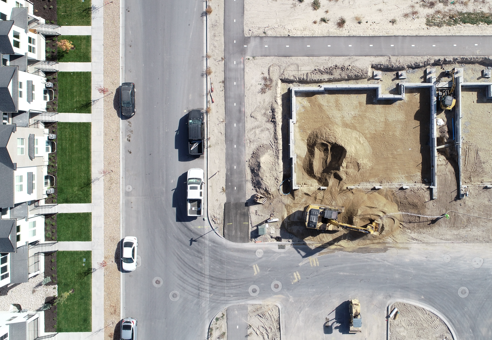

Utilizing Drone Technology for Quicker, Safer, Smarter Projects

As a data collection company, we must disclose that we are not certified land surveyors. While we provide comprehensive aerial data services, including mapping and imaging, we advise consulting with certified professionals for any legally binding surveying requirements