


Your One-Stop Shop
Construction Solutions
We Help Build Tomorrow with Precision and Flight—
Avian Horizon Co
Better Data, Greater Insight, All In One Portal
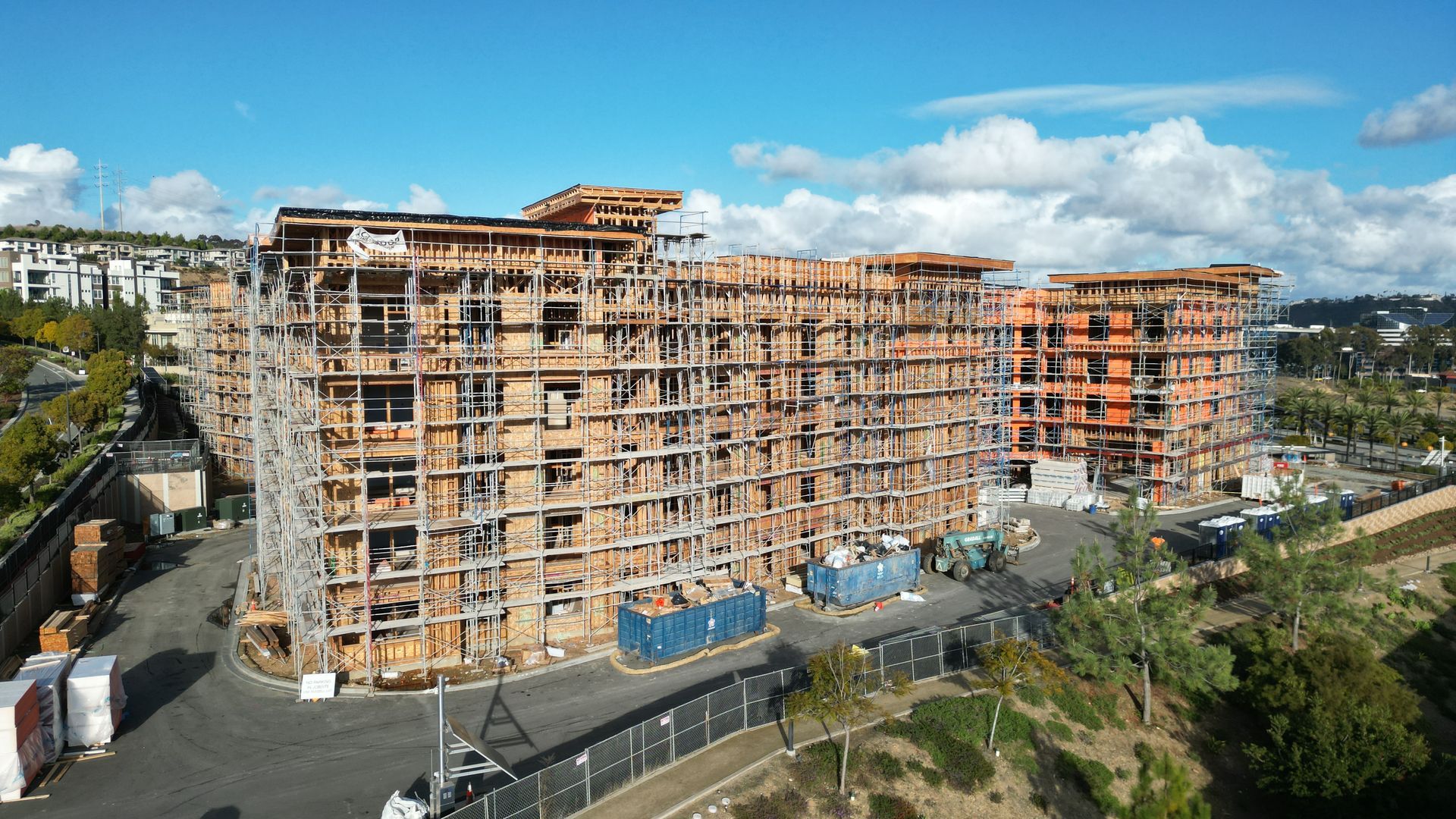
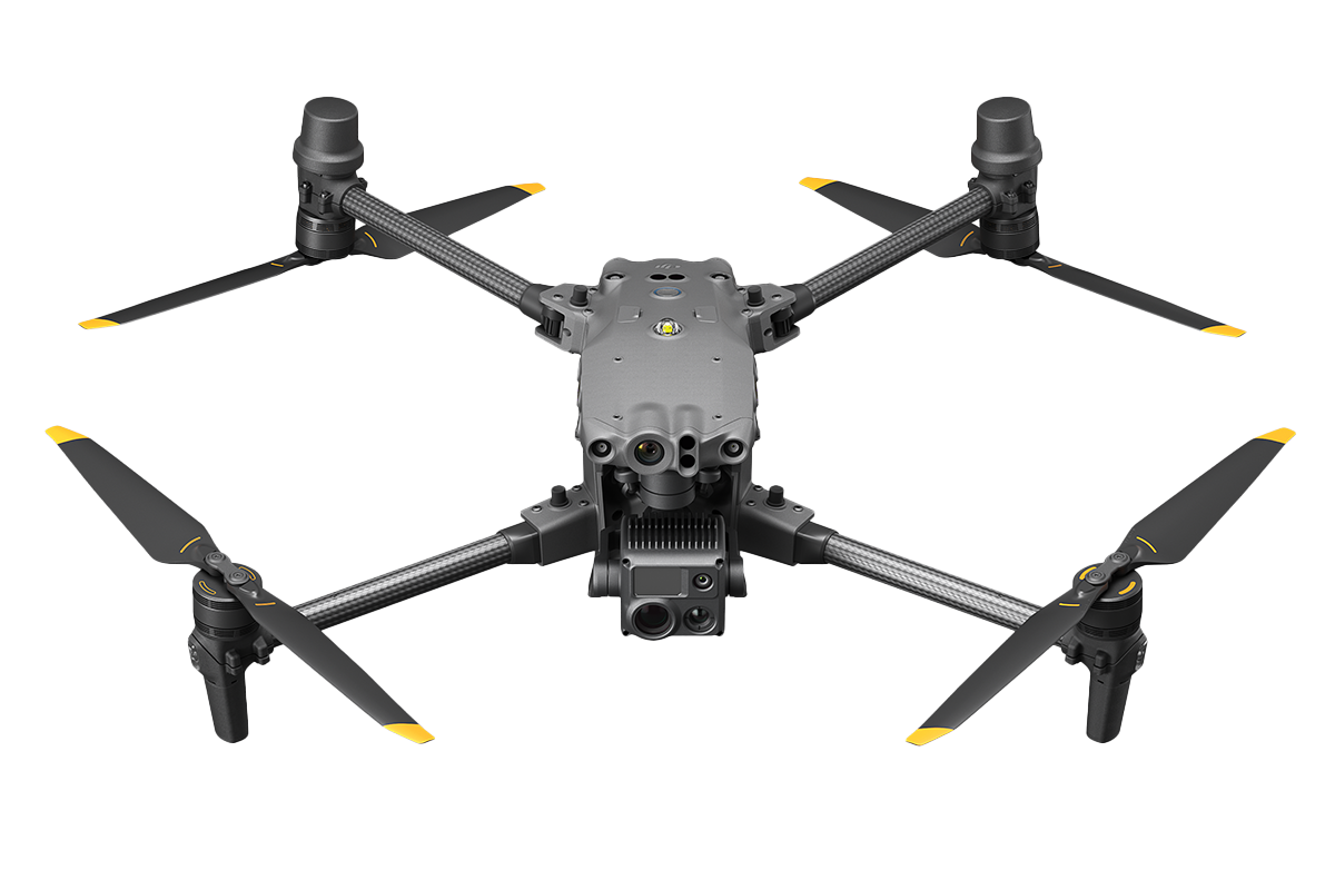
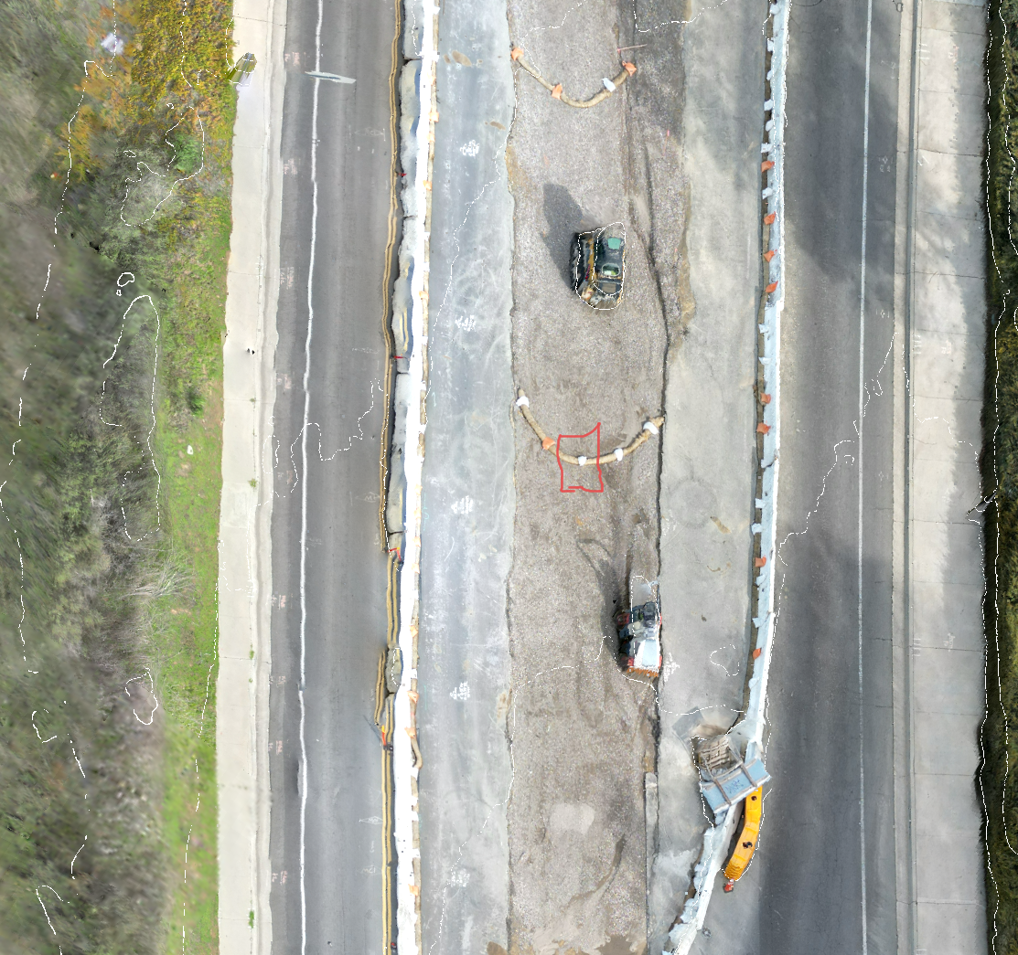
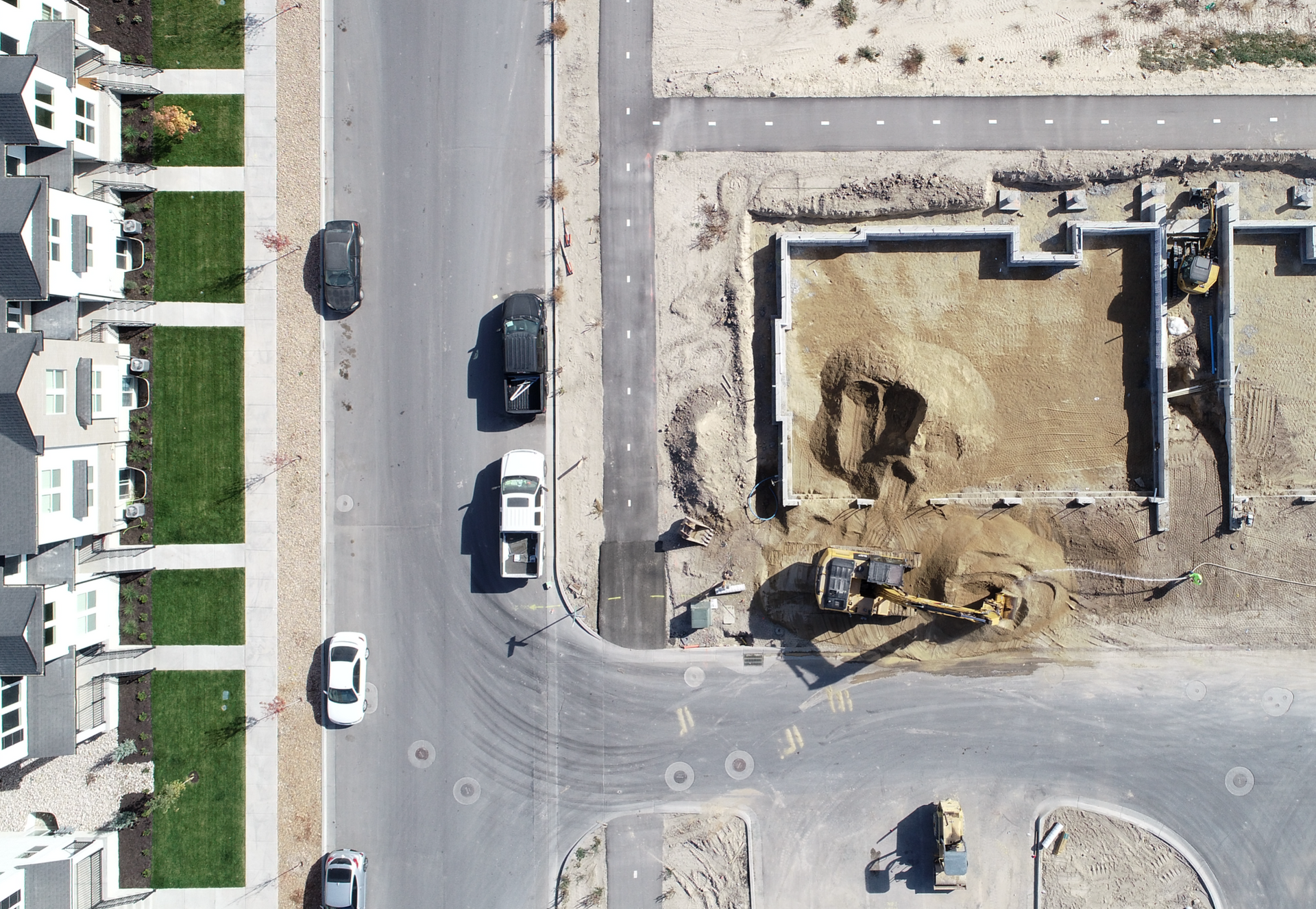
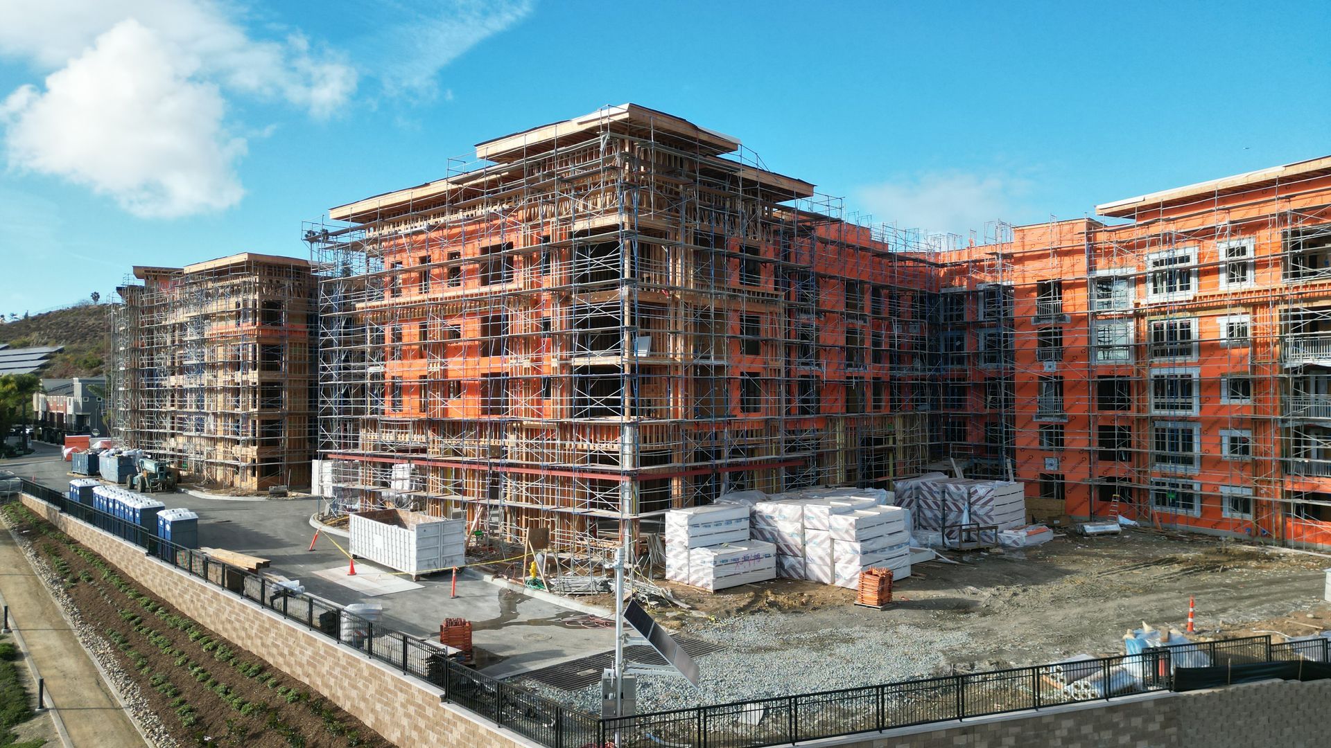
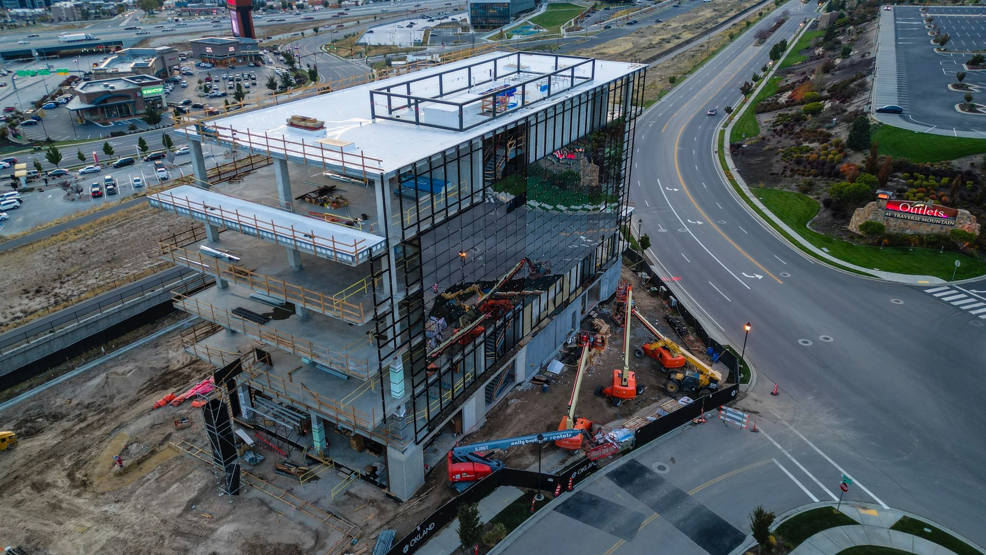
Drones are transforming construction inspections by providing precise fault detection, reducing costs, and greatly enhancing efficiency. Equipped with high-resolution imaging, We quickly identify issues like structural damage, misalignments, and wear, preventing costly delays. The ability to cover large sites minimizes downtime and eliminates the risks of manual inspections.
Strategy and Planning
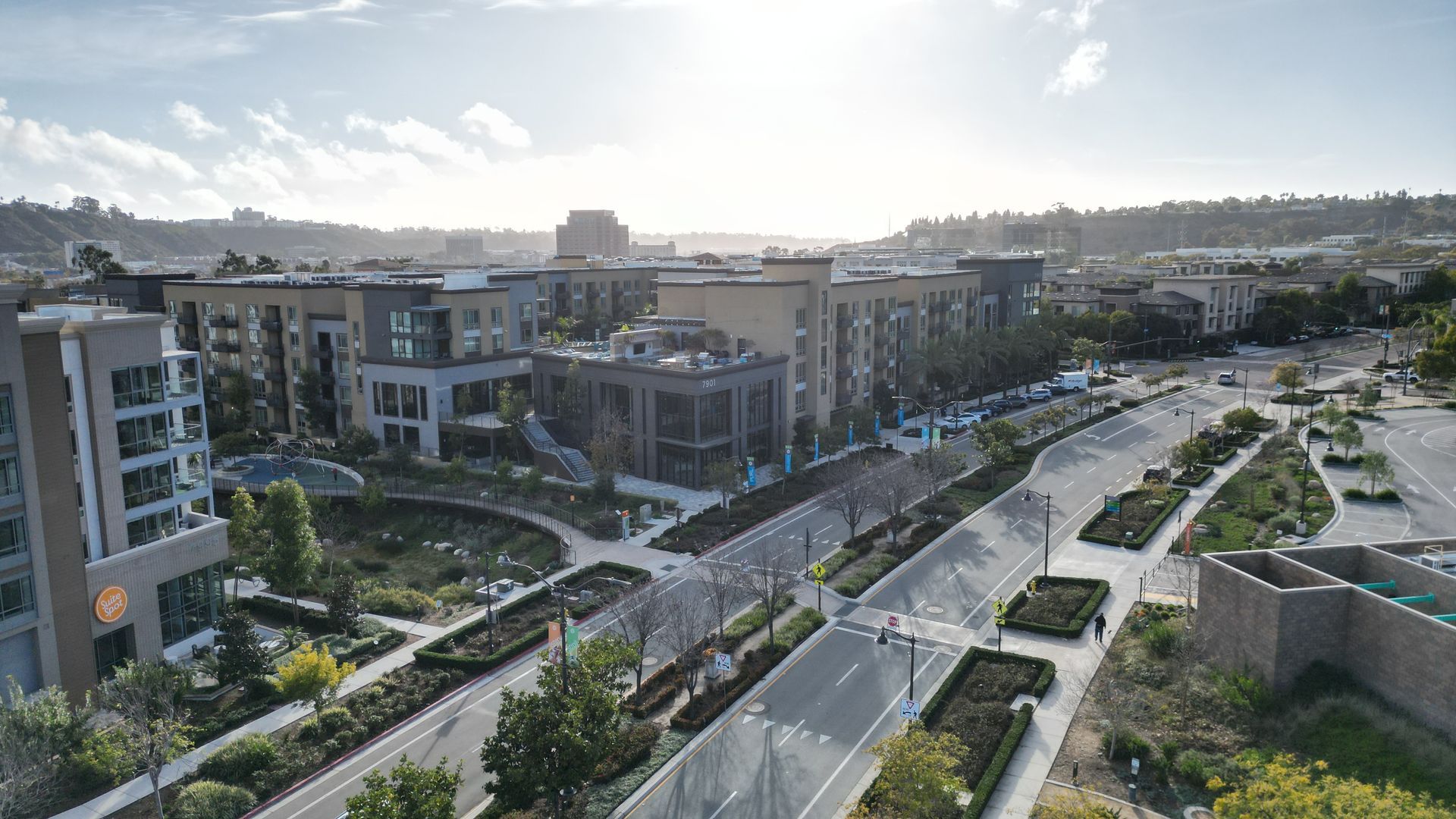
- Provides real-time aerial views for accurate progress tracking.
- Enhances communication with stakeholders through visual reports.
- Reduces the need for manual site visits, saving time and costs.
- Identifies potential issues early with detailed imagery and data.
- Supports safer site monitoring without exposing workers to hazards.
- Generates precise 3D models and maps for better project planning.
- Documents construction milestones for compliance and record-keeping.
Cost Reduction
- Speeds up progress reporting with quick aerial site scans.
- Reduces labor costs by minimizing the need for manual inspections.
- Provides accurate data for better resource allocation and budget management.
- Identifies delays and inefficiencies early to prevent costly setbacks.
- Streamlines communication with visual updates, reducing unnecessary site visits.
Increased Safety and Risk
- Reduces the need for workers to access hazardous or hard-to-reach areas.
- Identifies structural issues and safety risks early through detailed aerial imagery.
- Enhances site monitoring to ensure compliance with safety standards.
- Minimizes on-site inspections, lowering the risk of workplace accidents.
- Provides clear visuals for safer decision-making and project management.
Picture this!
- Lowers operational costs by reducing the need for manual labor and equipment.
- Speeds up inspections, minimizing downtime and keeping projects on schedule.
- Provides accurate data for better budgeting and resource management.
- Reduces costly rework by identifying issues early in the construction process.
- Enhances operational efficiency with automated data collection and analysis.
Expertise and Quality
Our team provides expert insights and high-quality data for clear, actionable reports. We help you streamline operations, cut costs, and keep your construction projects on track. .
Scalability
Trust us to improve efficiency and ensure your projects are completed on time and within budget
Time Efficiency
Our team delivers expert insights and high-quality data to save time, streamline inspections, and keep your construction projects on schedule
Collaboration
Our team delivers expert insights and high-quality data to foster seamless collaboration, ensuring your construction projects run smoothly and efficiently from start to finish.
efficiency VISIBILITY, & SAFETY TO new heights
efficiency VISIBILITY, & SAFETY TO new heights
Data From Takeoff to Anywhere
✅ Progress Tracking and Reporting
- Regular Aerial Progress Reports (Daily, Weekly, or Monthly)
- Time-Lapse Progress Videos
- Visual Documentation for Stakeholders
- Real-Time Progress Monitoring
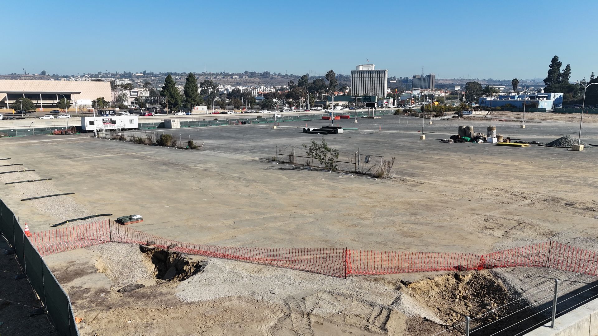
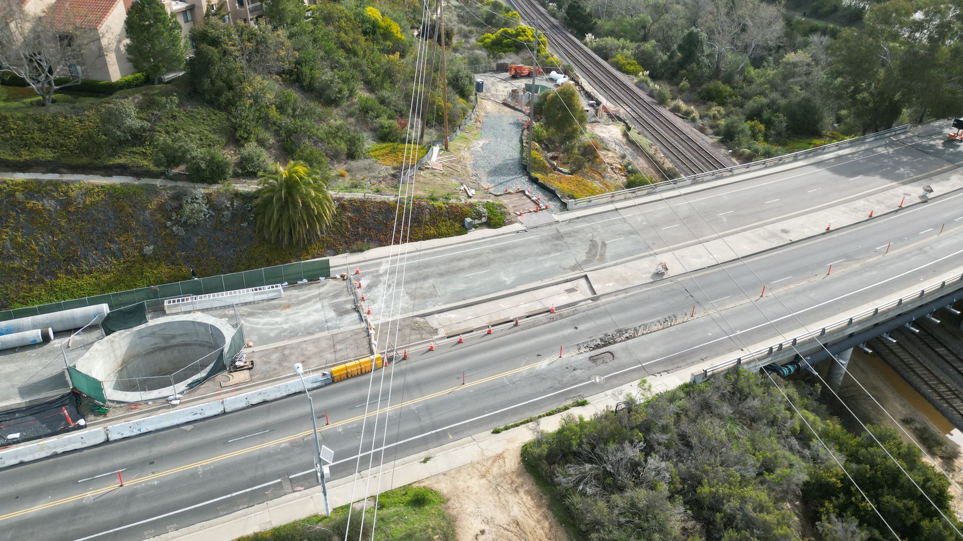
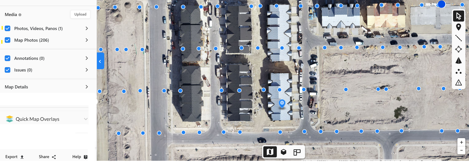
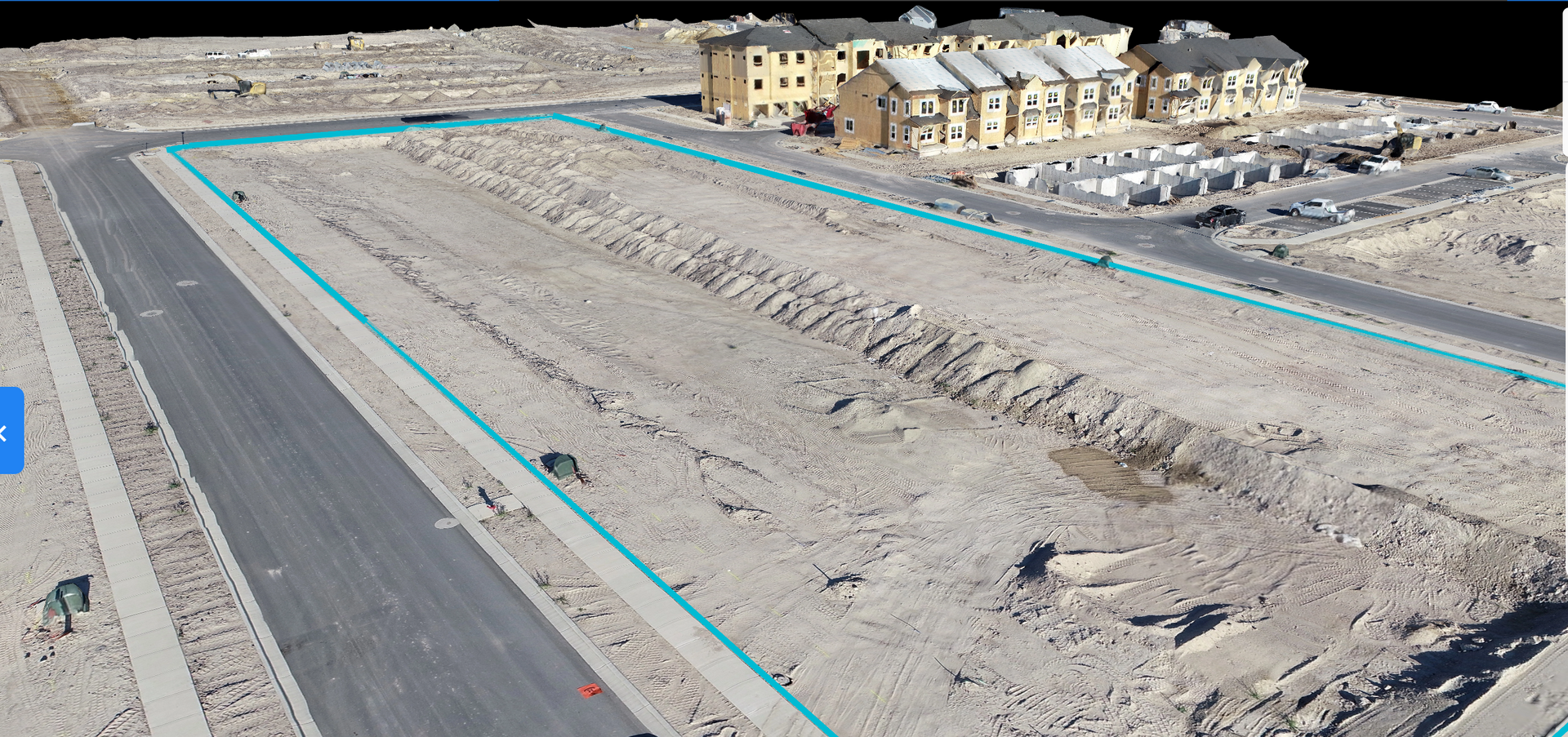
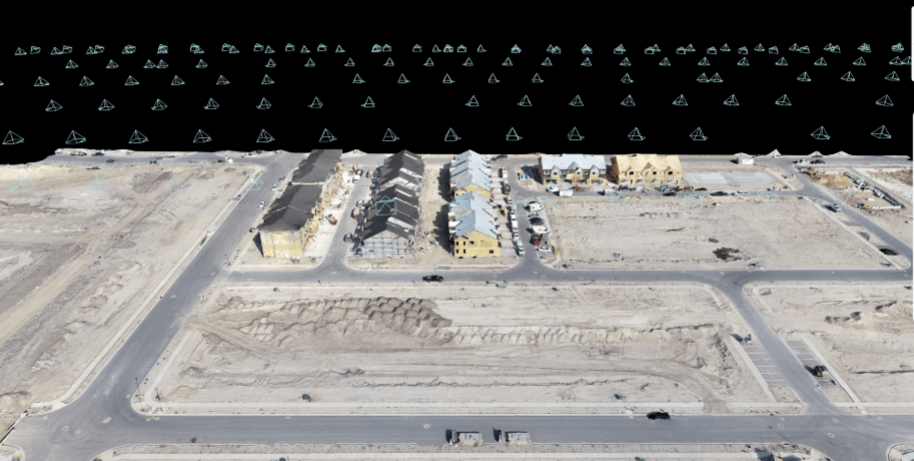
📍 Ortho mapping and Site Mapping
- 2D Orthomosaic Maps for Accurate Site Overview
- 3D Modeling and Digital Twins
- Contour Mapping for Site Planning
- Pre-Construction Site Surveys
🧱 Inventory and Stockpile Management
- Stockpile Volume Measurements
- Material Tracking and Management
- Inventory Reporting with Visual Data
- Accuracy Verification for Invoices and Deliveries
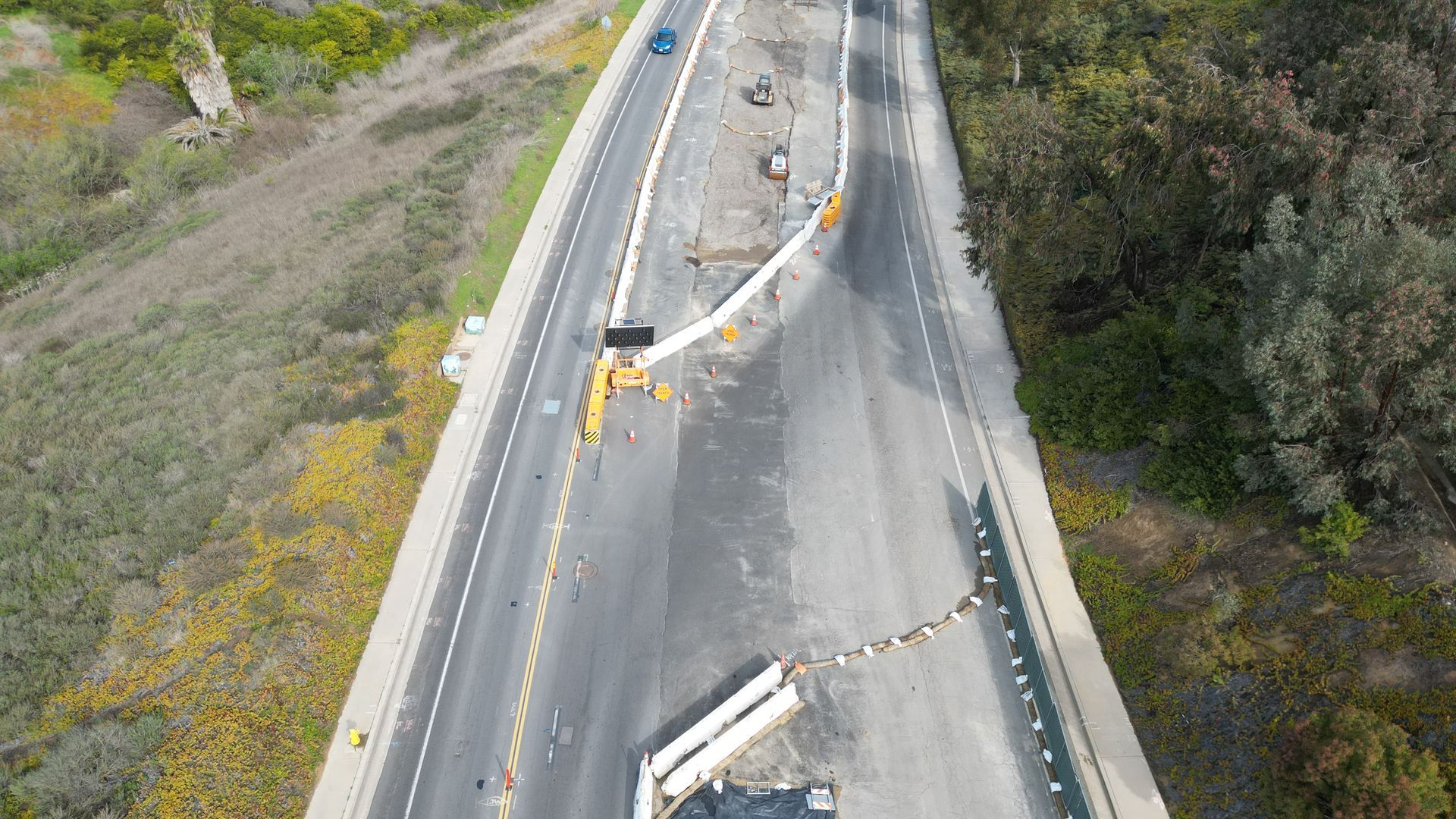
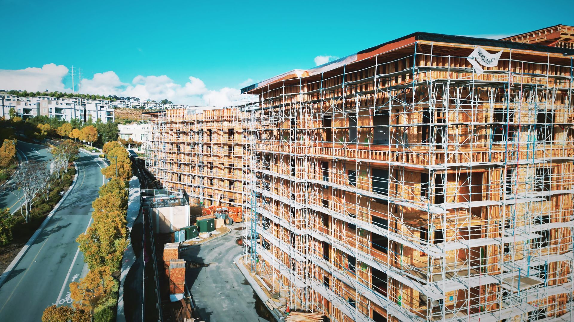
📸 Photography and Visual Documentation
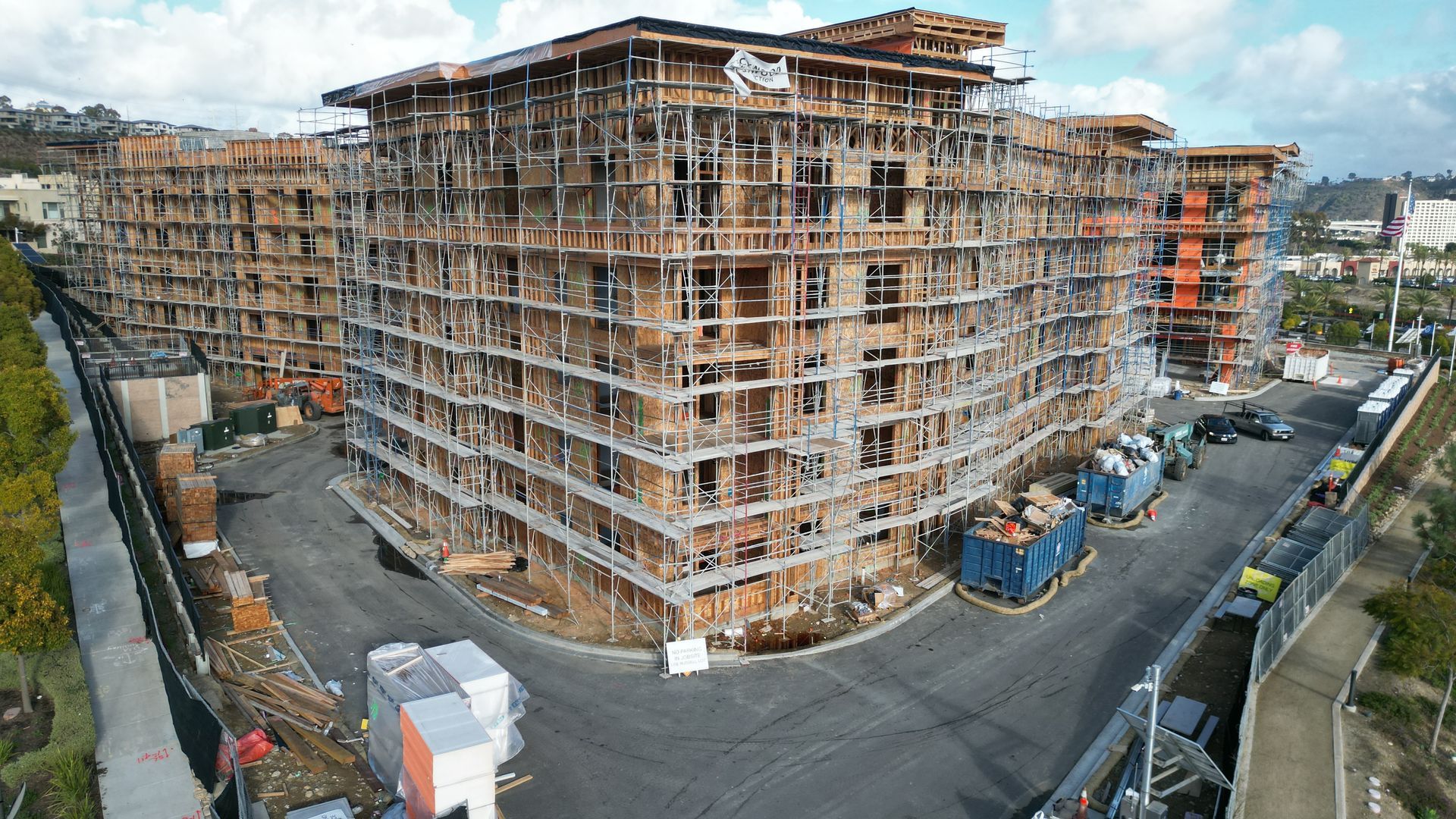
- High-Resolution Aerial Photography
- In-Depth Ground Photos of Key Project Areas
- 360° Panoramas for Comprehensive Site Views
- Detailed Visuals for Structural Inspections
⚡ Inspection and Analysis
- Structural Integrity Inspections
- Thermal Imaging for Fault Detection
- Safety Compliance Monitoring
- Equipment and Machinery Inspection
📊 Data and Reporting Solutions
Cloud-Based Client Portal for Data Access
Custom Reporting Dashboards
Historical Data Comparison and Analysis
One Simple Process
Streamline Your Construction Process with Advanced Drone Technology
Site Assessment & Proposal
Drones enhance safety by eliminating the need for workers to access hazardous or hard-to-reach areas. They identify potential risks early, allowing for safer decision-making and minimizing exposure to dangerous environments during inspections.
Data Collection & Analysis
Drones offer seamless scalability for large-scale construction projects, quickly covering extensive sites and providing consistent, high-quality data. They streamline inspections and progress tracking, ensuring efficiency and accuracy across multiple locations, regardless of project size.
Efficiency and Cost Reduction
Drones boost efficiency by quickly covering large construction sites, reducing the need for manual labor and inspections. This cuts operational costs, minimizes downtime, and helps identify potential issues early, preventing expensive delays and ensuring projects stay within budget.
Advanced Data Analytics
Drones provide advanced data analytics by capturing high-resolution images and thermal data, which are processed to deliver actionable insights. This data helps identify issues, track progress, and improve decision-making, ensuring accurate reporting and better project outcomes.
Save BIG on Quarterly
Save big on quarterly retainers by opting for our comprehensive drone inspection services. Enjoy cost-effective solutions with reduced manual labor, minimized downtime, and proactive maintenance, all while receiving high-quality, data-driven insights that improve project efficiency and decision-making.
Flyby Package – Construction Site Monitoring
A cost-effective solution for construction project tracking and progress reporting, offering essential insights with high-resolution visuals and easy access to updates.
Progress Tracking & Reporting
- Monthly aerial progress reports with high-resolution images
- Time-lapse videos capturing key construction milestones
- Visual documentation for stakeholders, with downloadable reports
- Real-time updates available via the client portal
Orthomapping & Site Mapping
- 2D orthomosaic maps for clear, accurate site views
- Pre-construction site surveys to document existing conditions
- Basic contour mapping for progress tracking and site planning
Photography & Visual Documentation
- High-resolution aerial photography for detailed site views
- 360° panoramas for comprehensive visual updates
- In-depth images focusing on key construction areas
Best For:
General contractors, project managers, and developers looking for affordable site monitoring and progress tracking for construction projects.
LIFT OFF Package – Advanced Construction Site Monitoring
Take your construction project management to the next level with the LIFT OFF package. Offering bi-weekly progress reporting, detailed visual analytics, and advanced site mapping tools, this plan ensures comprehensive oversight, timely decision-making, and efficient project management.
Progress Tracking & Reporting
- Bi-weekly progress reports with time-lapse videos to track construction milestones
- Real-time visual updates through a secure client portal
- Detailed photo and video documentation for stakeholder presentations
Orthomapping & Site Mapping
- High-resolution 2D orthomosaic maps with centimeter-level accuracy
- 3D modeling and digital twins for advanced project analysis
- CAD and BIM integration for seamless collaboration with architects and engineers
- Site contour mapping for excavation and grading progress
Inventory & Stockpile Management
- Stockpile volume measurements with precise calculations
- Material tracking to prevent shortages and optimize ordering
- Visual inventory reporting with detailed analysis
- Verification reports to validate invoices and deliveries
Photography & Visual Documentation
- High-resolution drone photography capturing structural progress
- 360° interactive site panoramas for remote inspections
- In-depth ground photos of machinery, materials, and infrastructure
Sky Elite Package – Priemer Construction Site Monitoring
Elevate your project management with the Sky Elite package. This premium service delivers weekly progress reporting, real-time data insights, and comprehensive site mapping—designed to provide large-scale projects with in-depth oversight and precise analytics to drive efficiency, reduce costs, and ensure timely project completion.
- Weekly progress reports with visual insights and detailed analysis
- Real-time data updates accessible via a custom client portal
- Dynamic time-lapse videos tracking progress over multiple phases
- Detailed visual documentation for investors, stakeholders, and compliance
Orthomapping & Site Mapping
- Advanced 2D and 3D mapping with centimeter-level accuracy
- Digital twins for detailed project visualization and predictive analysis
- Terrain modeling and volumetric analysis for earthworks and excavation
Inventory & Stockpile Management
- Predictive stockpile volume tracking with precise insights
- Real-time material monitoring to prevent delays and reduce waste
- Automated reporting for easy invoice verification
- Comparative inventory analysis for ongoing budget tracking
Photography & Visual Documentation
- Ultra-high-resolution images and videos with detailed analysis
- 360° panoramas for interactive site walkthroughs
- Close-up inspections of critical infrastructure and machinery
- Marketing-quality drone footage for promotional use
Inspection & Analysis
- Structural integrity inspections with fault detection
- Thermal imaging for moisture, leak, and insulation detection
- Safety compliance monitoring with automated alerts
- Equipment and machinery inspections for proactive maintenance
Data & Reporting Solutions
- Custom dashboards with real-time data visualization
- Predictive maintenance reports to prevent delays
- Historical data tracking for long-term performance analysis
efficiency VISIBILITY, & SAFETY TO new heights
As a data collection company, we must disclose that we are not certified land surveyors. While we provide comprehensive aerial data services, including mapping and imaging, we advise consulting with certified professionals for any legally binding surveying requirements